





Skenderija
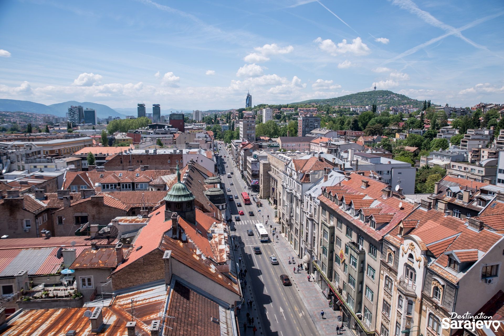
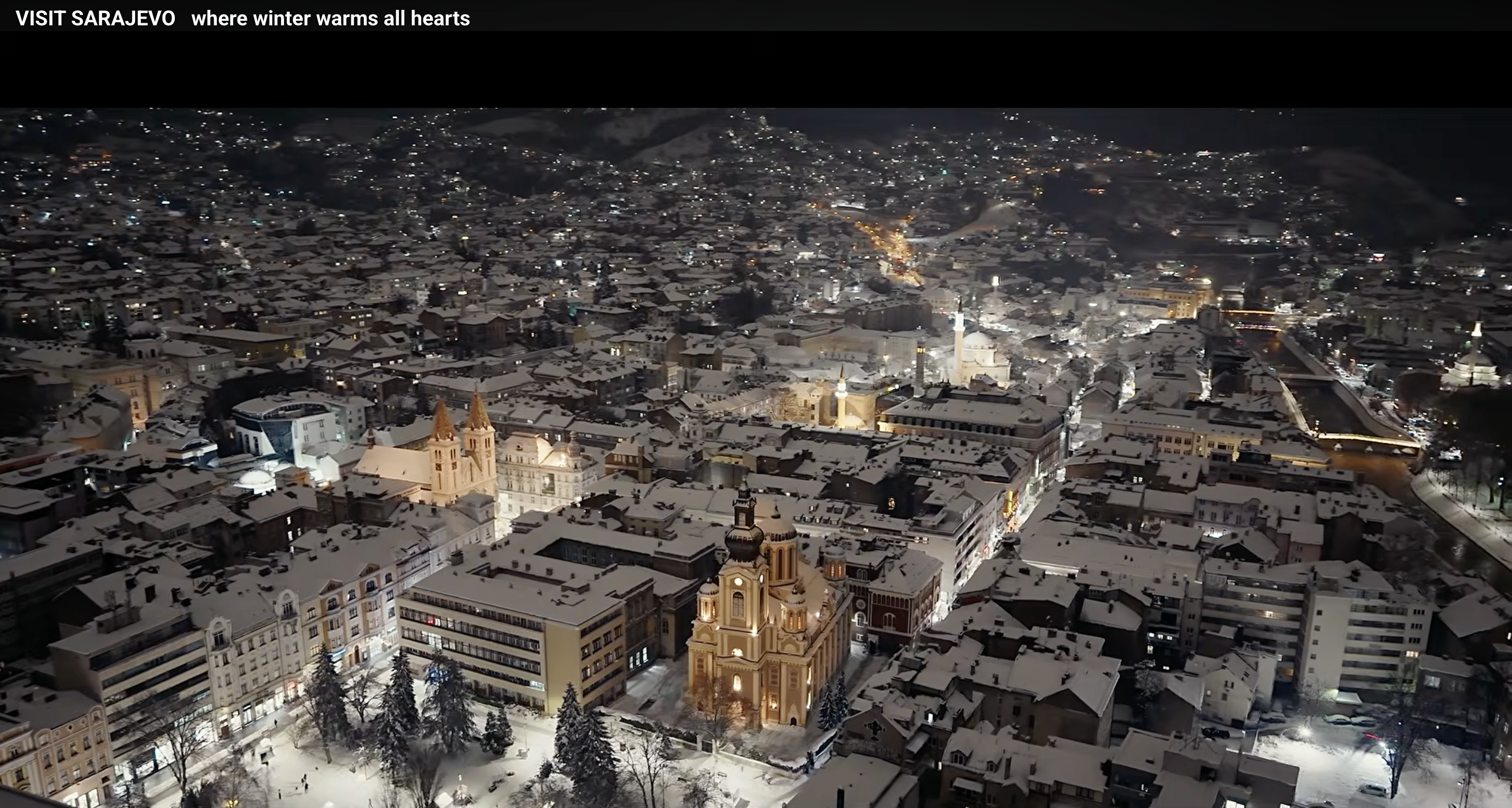
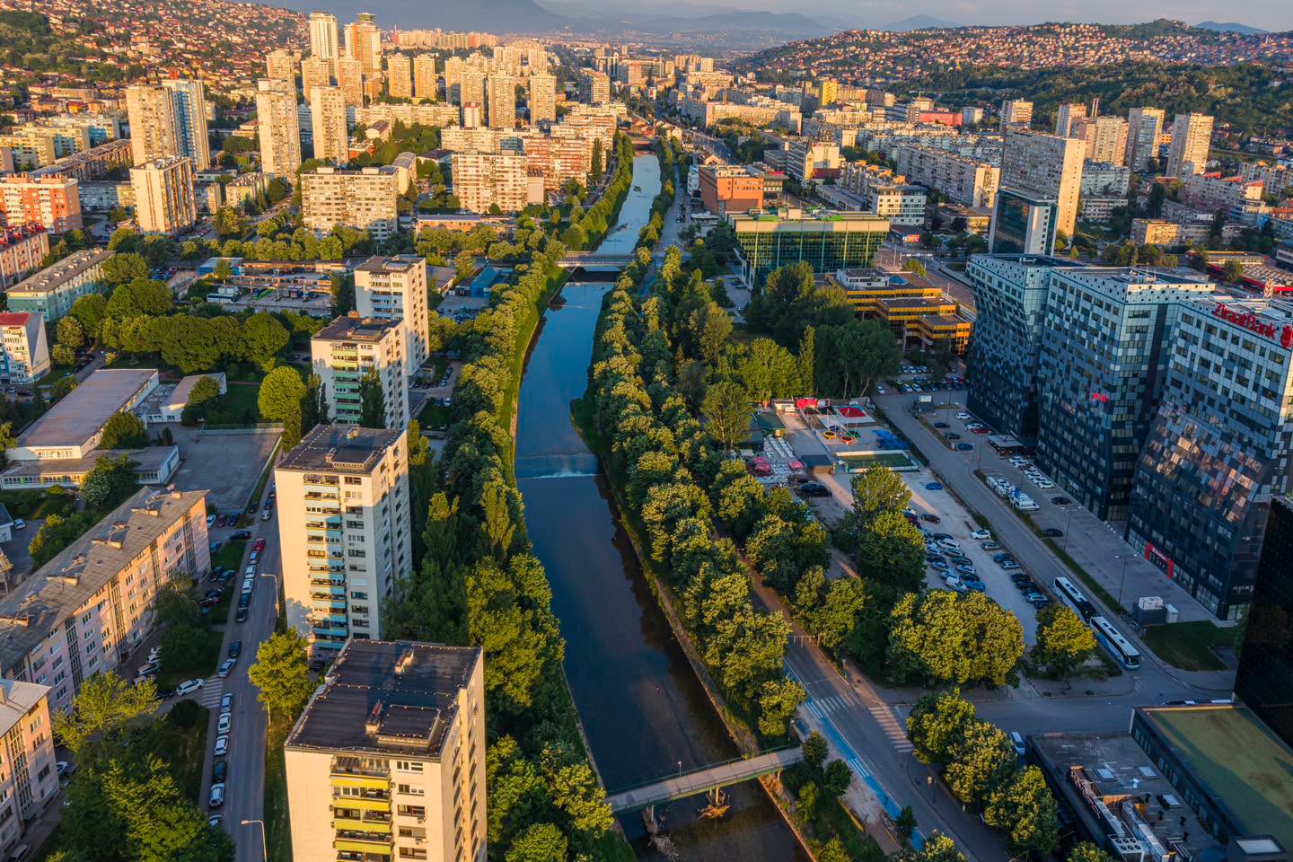
It is presumed that, even before the Ottomans came there was a small path that ran through the fields on the left bank of the Miljacka. In the 16th century, Ottoman Governor Skender Pasha had a trading center, caravanserai, palace, mosque, soup kitchen, tekke and bridge built where Skenderija and its surroundings are today.
A residential quarter, Skender-pašina Mahala (locally known as Skenderija), grew up around these objects.
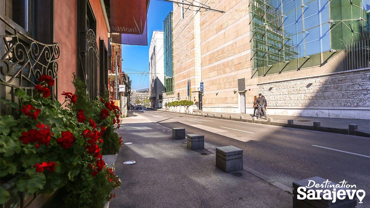
Today’s street began to form in the mahala during the Austro-Hungarian period. Early on, it extended to the east, but only up to the crossing with Fehima Efendije Ćurčića and Soukbunar, where Skenderija Čikma splinters off to the southeast as a blind alley.
In 1904, two other streets became part of Skenderija: Mutni Potok, which ran east from Fehima Efendije Ćurčića to Čobanija; and Zeleni Mejdan, which ran from Čobanija to what is now Hamdije Kreševljakovića.
LOCATION / AREA
Center
DISTANCE FROM AIRPORT
7.0km
DISTANCE FROM SARAJEVO BUS STATION
1.4km
Distance from the center
100m
NEAREST PUBLIC TRANSPORT STATION
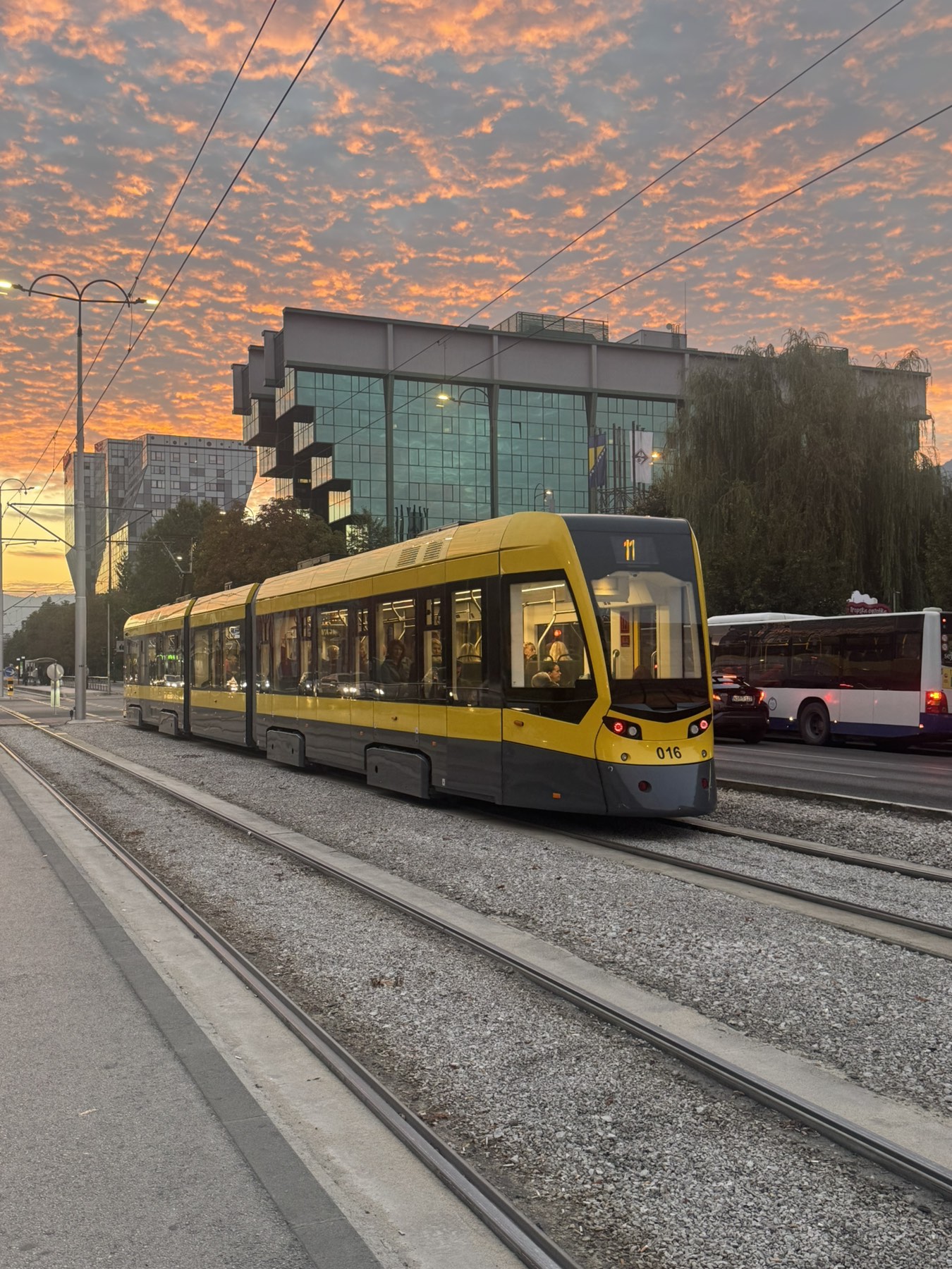
Trolleybus station Skenderija - 75m