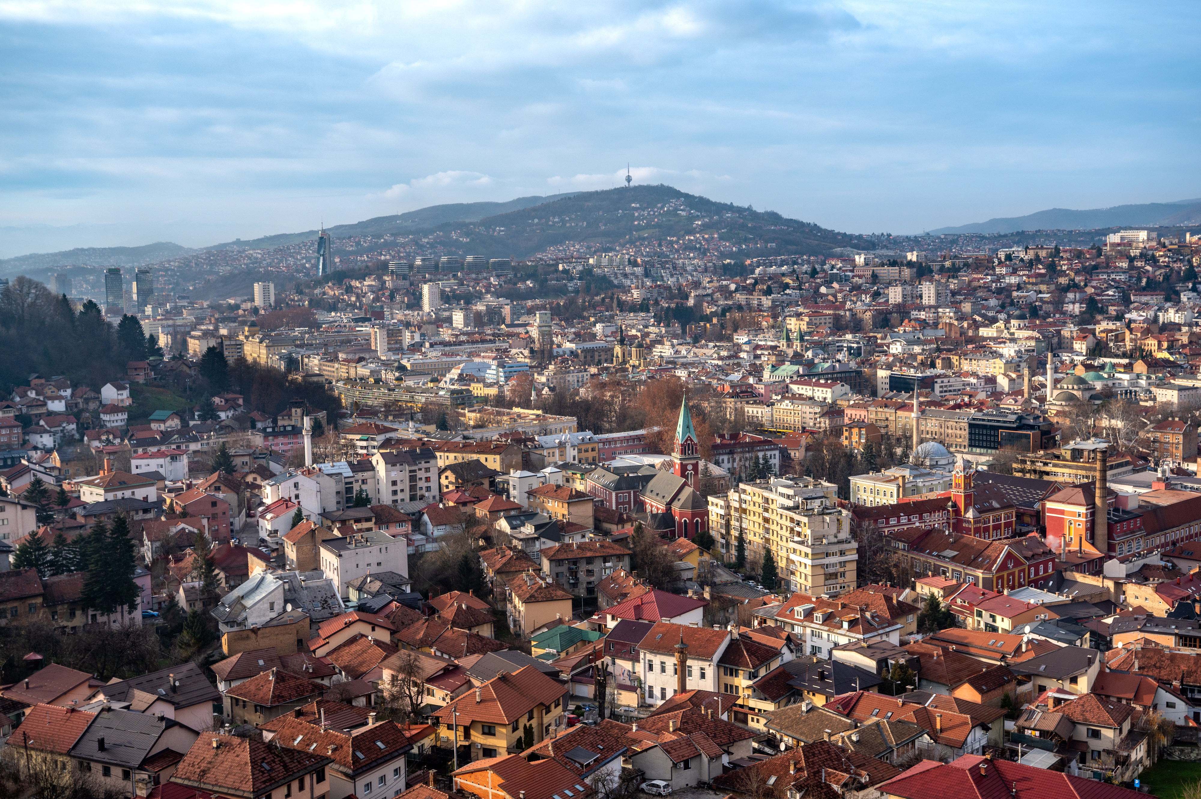





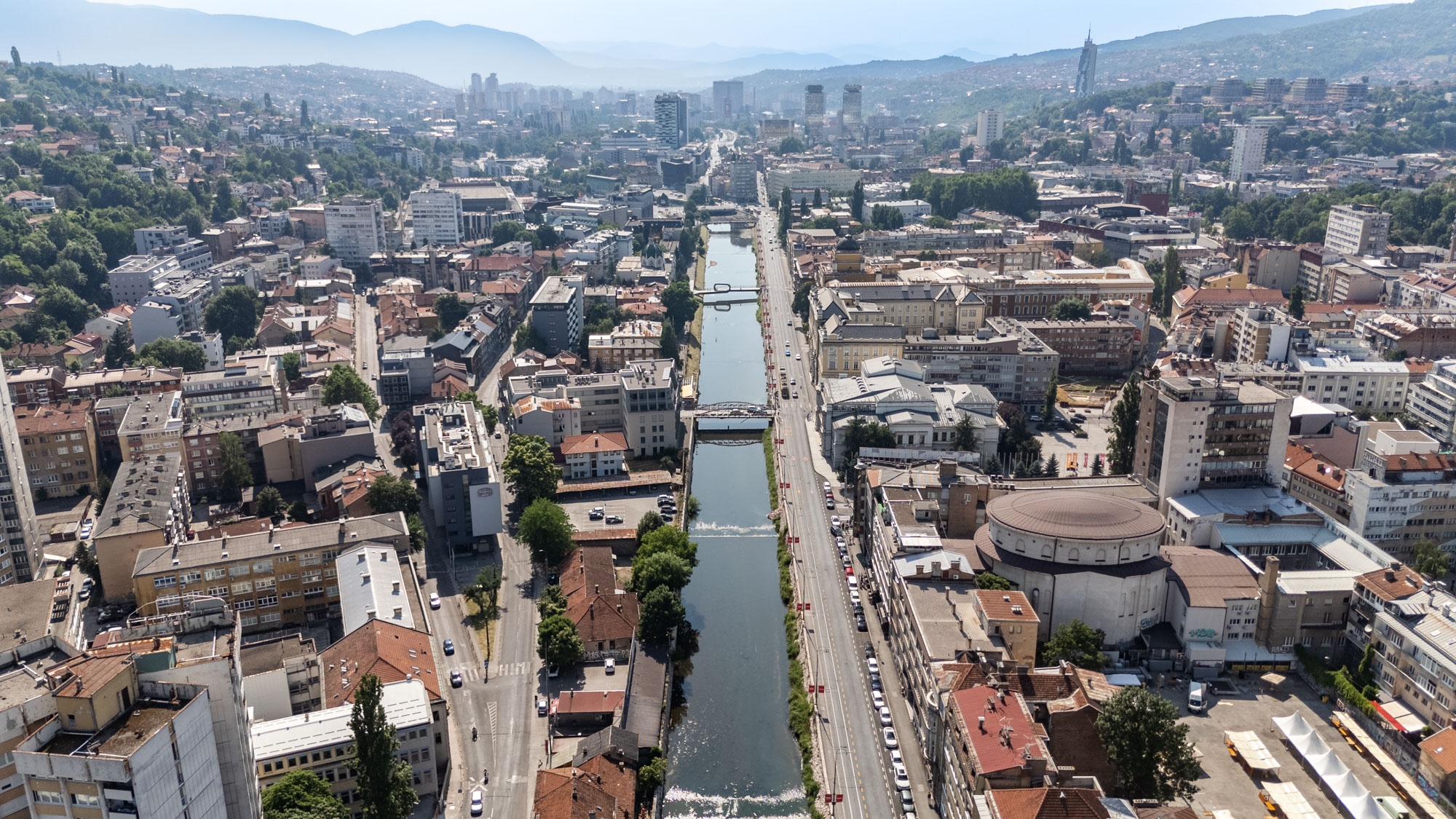

You can now explore Sarajevo from the air, right from your phone. On the interactive 3D map at sarajevo.mapa.ba, trams run along the Miljacka, planes land at the airport and the Trebević cable car cabins glide up the mountain.
/
News
Sarajevo 3D: Interactive city map
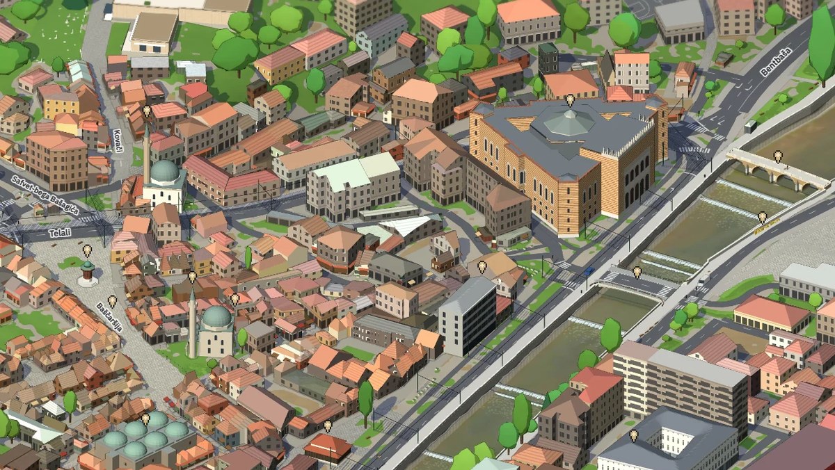
An interactive 3D map of Sarajevo is available at sarajevo.mapa.ba. It opens in a browser or on a phone, it is free, with no registration or ads, and it is available in English. The map was made by Sarajevo engineer Emir Beganović as a personal, non-commercial project, ahead of 25 November, Statehood Day of Bosnia and Herzegovina.
A city that comes alive
The map is more than a picture of the city. Cars drive through the streets, yellow trams run along the Miljacka, planes land at Sarajevo Airport and the Trebević cable car runs with all 33 cabins. When night falls, windows and street lamps light up.
From Vrelo Bosne to Baščaršija
The map covers about 18 × 12 kilometres: from Ilidža, Vrelo Bosne and the airport in the west to Baščaršija, Vratnik and Bentbaša in the east, and from Vogošća to the slopes of Trebević. It has more than 80,000 objects and nearly a million trees. More than 1,400 key buildings, including the City Hall (Vijećnica), Sebilj, Inat Kuća and the Šeher-Ćehaja Bridge, were made by hand from dozens of photographs.
You can rotate and zoom the map and search for places and addresses. It is handy for planning: see where your hotel is in relation to Baščaršija, where the tram runs and how far it is to the cable car. Then come and walk it for real.
FAQ
Where can I find the 3D map of Sarajevo? At sarajevo.mapa.ba, in a browser or on a phone.
Is the 3D map of Sarajevo free? Yes, it is free, with no registration or ads, and available in English.
What moves on the map? Cars, trams along the Miljacka, planes at Sarajevo Airport and the 33 cabins of the Trebević cable car; at night windows and street lamps light up.
Which part of Sarajevo does the map cover? About 18 × 12 km, from Ilidža and Vrelo Bosne to Baščaršija and Bentbaša, and from Vogošća to Trebević.
/
YOU MIGHT BE INTERESTED
/News
Sarajevo at IBTM World in Barcelona: a city for congresses, meetings and incentive trips
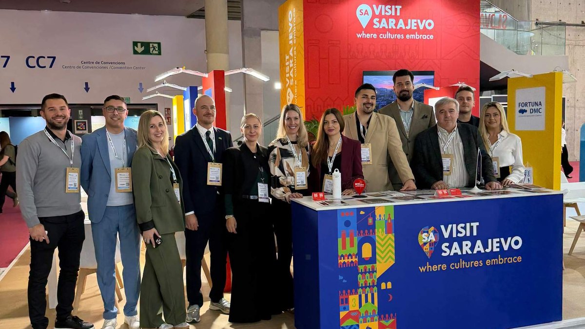
The Tourism Association of Sarajevo Canton – Visit Sarajevo presented Sarajevo at IBTM World 2026 in Barcelona , from 17 to 19 November . IBTM World brings together the MICE industry: meetings, incentives, conferences and exhibitions. A world stage for business tourism This year the fair brought together 2,500 destinations, hotels and companies from more than 150 countries, around 12,000 MICE professionals…
/News
Driving to Sarajevo: motorway tolls and how to pay
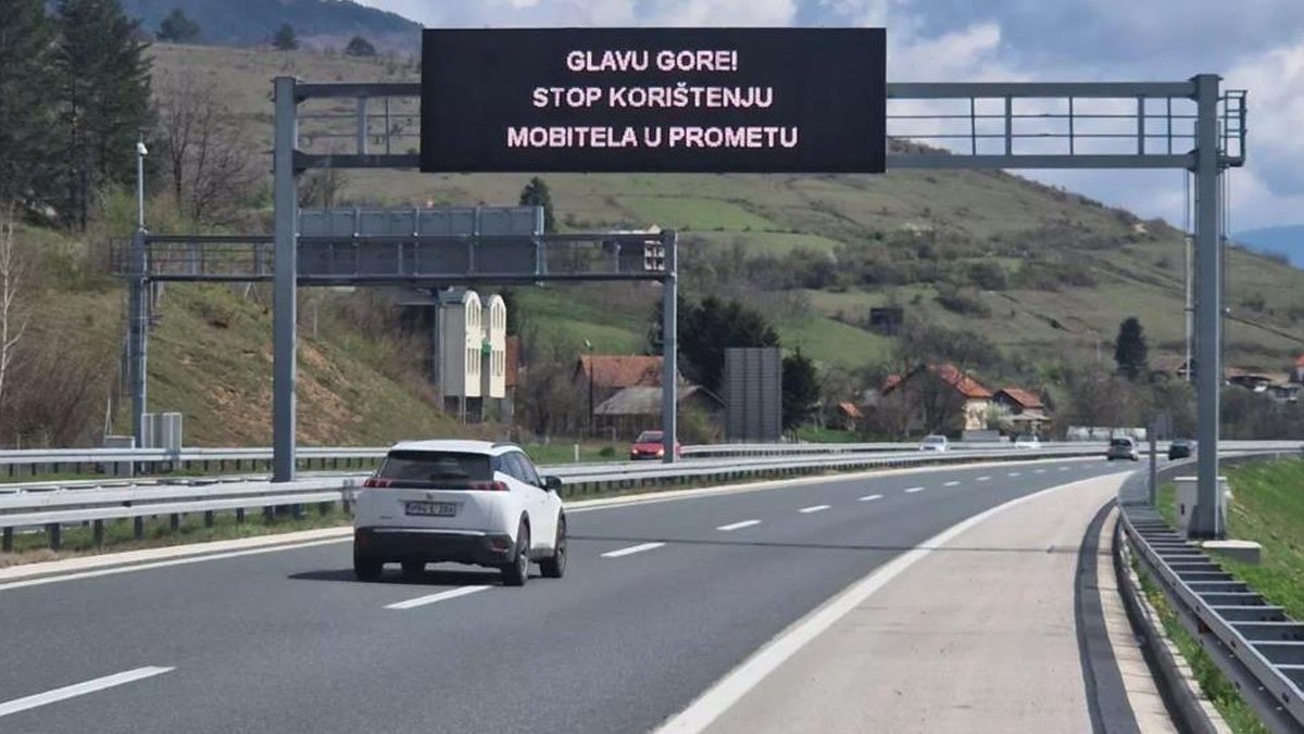
Since 1 November 2026 , tolls on the A1 motorway in the Federation of BiH are up to 15 percent higher. For a car, the drive from Zenica (Zenica sjever junction) to Sarajevo costs 8 KM , and from Bradina to Sarajevo , on the road from Mostar, 4 KM . Toll prices to Sarajevo for cars Prices from 1 November 2026 for cars, VAT included: Coming from…
/News
Season ski passes from Slovenia, Serbia and Montenegro now valid on Sarajevo’s Olympic mountains
Ski resorts from Bosnia and Herzegovina, Slovenia, Serbia and Montenegro signed the SKI REGION agreement on Jahorina on 19 November 2026 . The resorts mutually recognise season ski passes, so skiers from the region can use their pass for three days on the mountains around Sarajevo. Your pass, our slopes A season pass from 16 Slovenian resorts ,…